Coastal Salinity Sensors Map Micro-Shifts Across Southwest Polders
Year-long river gauge readings from Khulna and Satkhira reveal sharper dry-season salinity spikes inside secondary canals than regional averages captured.
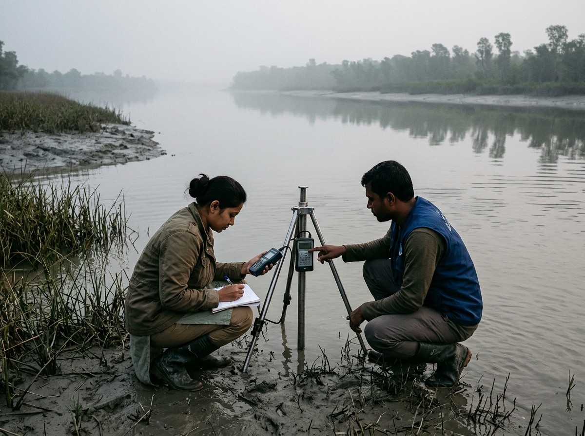
KHULNA — For farmers cultivating along Bangladesh’s southwestern delta, salinity does not arrive as a uniform district average—it creeps through sluice gates, silted canals, and tidal seepage at sharply localized intervals. A twelve-month monitoring project by the Khulna Coastal Hydrology Working Group has documented those micro-variations at thirty-six embankment points.
By combining hand-calibrated conductivity gauges with community logbooks maintained by local schoolteachers, the research team found that inland secondary canals experienced salinity surges up to eighteen days earlier than main-channel stations reported.
“District averages hide the exact two-week window when a farmer must decide whether to pump canal water or hold a pond reserve.”
The working group has made its raw monthly logs openly downloadable for agronomists, municipal planners, and student researchers studying resilient delta agriculture.
ABOUT THE REPORTER
Dr. Rafiqul Islam
Contributing Research Editor
Fellow at CFSBR specializing in climate economics, hydrological risk, and trade corridors.
Related Dispatches
More in ResearchMunicipal Finance Study Highlights Audit Readiness Gaps in Secondary Cities
Researchers suggest standardized quarterly expenditure disclosures could unlock concessional green infrastructure financing for drainage and urban transit.

University Research Clubs Expand Their National Collaboration
Student-led research organizations across Dhaka, Chattogram, Rajshahi, and Khulna are replacing isolated annual symposiums with a shared national working-paper network.
Instant Merchant Settlement Pilots Reshape Dhaka SME Liquidity
Commercial banks and mobile financial service providers are testing real-time clearing rails aimed at drawing cash-heavy wholesale markets into formal ledger histories.